
Muskegon ZIP Code Coverage
Muskegon postal geography needs a cross-check. The local material identifies mailing-area labels for 49440 through 49445, but it also says that city lines do not follow ZIP lines. Some labels can overlap Norton Shores, Roosevelt Park, Muskegon Heights, North Muskegon, or broader county geography. The post-office column below stays deliberately limited because the research did not assign an individual station to every ZIP.
| ZIP | Areas Covered | Post Office | Notes |
|---|---|---|---|
| 49440 | Muskegon mailing area | Muskegon USPS station or office reference | City line does not follow the ZIP line; check the exact address with USPS. |
| 49441 | Muskegon-area label | No separate station assignment located | May overlap Norton Shores and Roosevelt Park postal geography. |
| 49442 | Muskegon-area label extending into broader county geography | No separate station assignment located | Confirm the parcel municipality in county GIS. |
| 49443 | Muskegon PO Box-style label in local postal references | No separate station assignment located | Confirm the exact use with USPS; do not infer a parcel location. |
| 49444 | Muskegon-area label | No separate station assignment located | Postal overlap with Muskegon Heights or Norton Shores may occur. |
| 49445 | Muskegon-area label | No separate station assignment located | May include North Muskegon or Muskegon postal addresses; compare USPS and GIS. |
| 49415, 49448, 49456 | Fruitport, Nunica, Spring Lake, and other county-area labels | Not assigned in the inspected Muskegon material | County context only, not automatically the City of Muskegon. |
A ZIP result is a delivery and mailing fact. It is not proof of city residency, municipal jurisdiction, or a complete roster. A county community profile and the Michigan ZIP map offer context, while the address-level USPS response is the operative postal result.
The 49440 entry is the clearest illustration. The local material calls it a Muskegon mailing area and refers to a Muskegon USPS office, yet it also warns that the city line does not follow that ZIP line. For 49441, 49444, and 49445, the source identifies possible postal overlap with neighboring places rather than drawing a hard boundary. For 49442, it directs the researcher back to the parcel municipality. The right result is therefore an address-level postal finding plus a municipal finding, not a generalized statement about every address carrying the same label.
USPS Muskegon ZIP Code Searches
The USPS ZIP Code Lookup has three distinct modes. Choose the mode that matches the question, then save the returned postal city and ZIP exactly as shown. USPS warns that an address result does not confirm a person or organization at the address, and that recommended city names are postal names rather than municipal-boundary findings.
| USPS mode | Fields captured | Use for a Muskegon check |
|---|---|---|
| By Address | Company optional; street address required; apartment or suite optional; city required; state required; ZIP optional | Confirm the current postal result for one complete address. |
| By City and State | City required; state required | Find postal ZIP possibilities before testing a specific street address. |
| Cities by ZIP | ZIP required | See USPS-recommended postal city names for a known ZIP. |
A returned city name can say Muskegon even when the parcel lies in another municipality. Treat that as a signal to compare sources, not as an error or an identity claim.
The USPS lookup screen shows the three search modes used to establish the postal part of a Muskegon ZIP code check.
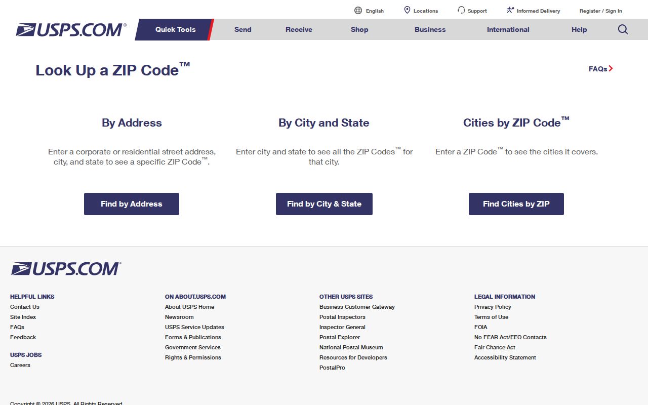
Run the address mode when a full address is known, rather than assuming a neighborhood label fixes the mailing ZIP.
Muskegon ZIP Code Verification
ZIP-wide searching has limits in the local sources. BS&A exposes address, name, and parcel-number routes, but the captured page did not show a confirmed ZIP-wide field. The County QVF request form accepts county, city or township, district, ward, and precinct geography, rather than a documented ZIP filter. That distinction prevents an apparently broad result from being described as a complete ZIP list.
Use the access channel that matches the question. USPS supplies the current mailing result. County GIS supplies a mapped parcel and local geography. BS&A can be searched by address, name, or parcel number for public property information, though its inspected landing page did not confirm a ZIP filter. The county Elections Division and the Secretary of State have their own documented election-geography routes. If the address cannot be reconciled after those checks, a narrow request to the relevant custodian should state the address, municipality, parcel number when known, and date range.
- Enter the current street address, city, and state in USPS By Address and retain the returned postal city and ZIP.
- Open the Muskegon County GIS Property Viewer and identify the parcel or address geometry.
- Record the municipality separately. County numbering distinguishes Muskegon City, Muskegon Township, North Muskegon, Muskegon Heights, Norton Shores, and Roosevelt Park.
- Use the parcel number or address in BS&A if a public property record is needed, keeping situs and mailing addresses apart.
- For public election geography, use the documented county or state request route with its stated geographic selectors, not a guessed ZIP filter.
Once the municipal address is settled, use the Muskegon street address directory for the parcel-by-parcel route. It is more precise than treating a ZIP as a street boundary.
Muskegon Postal City Mismatches
Muskegon is used as a city name, county name, township name, postal city, and nearby-place label. The county numbering map gives separate codes to Muskegon City (24), Muskegon Township (10), North Muskegon (23), Muskegon Heights (26), Norton Shores (27), and Roosevelt Park (25). A postal result therefore needs a municipal check before it is connected to a local record.
City neighborhood boundaries are also a different layer. Muskegon lists Angell, Beachwood/Bluffton, Campbell Field, East Muskegon, Glenside, Jackson Hill, Lakeside, Marquette, Marsh Field, McLaughlin, Nelson, Nims, Oakview, Sheldon Park, and Steele. A neighborhood can cross a ZIP edge, while one ZIP can include several neighborhoods and nearby municipalities.
Muskegon Parcel and ZIP Checks
The City of Muskegon Planning/Zoning office is the local route for land use, subdivision, lot division or combination, and new-address questions. County GIS supplies parcel and address geometry. A legal description may identify a lot, block, subdivision, condominium unit, or other recorded description, so it should not be replaced with a street number or ZIP.
The Muskegon Planning/Zoning page is the city contact route when an address or subdivision question cannot be answered from a postal lookup alone.
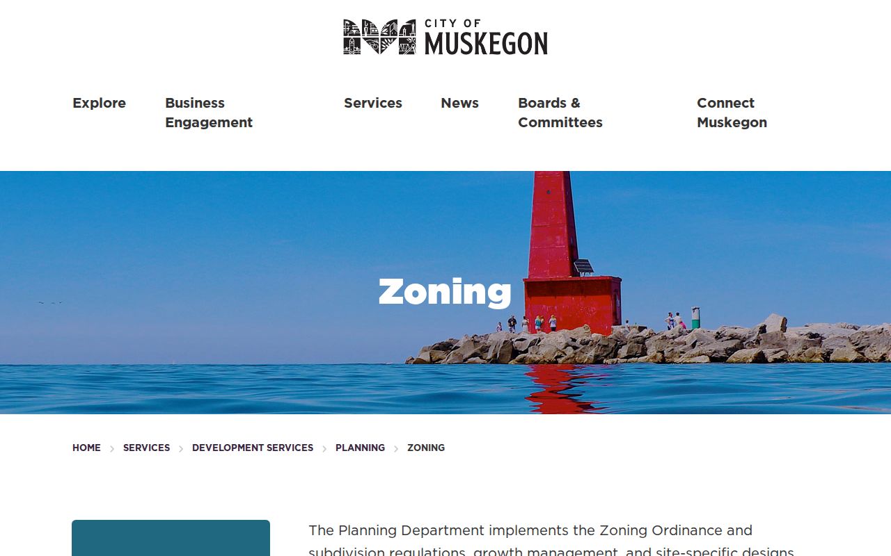
Planning and GIS can resolve the parcel or municipal side of a mismatch, while USPS remains the source for delivery ZIP and postal-city output.
Muskegon ZIP Code Election Geography
Election geography is not postal geography. The individual Michigan Voter Information Center is for a person’s own registration and election information. The more detailed county QVF request form documents selectors for county, city or township, district, ward, and precinct, plus request fields and delivery choices. It does not turn a ZIP code into a public household inventory.
The Muskegon County Elections Division page is the local route for current election-office contact and documented request procedures.
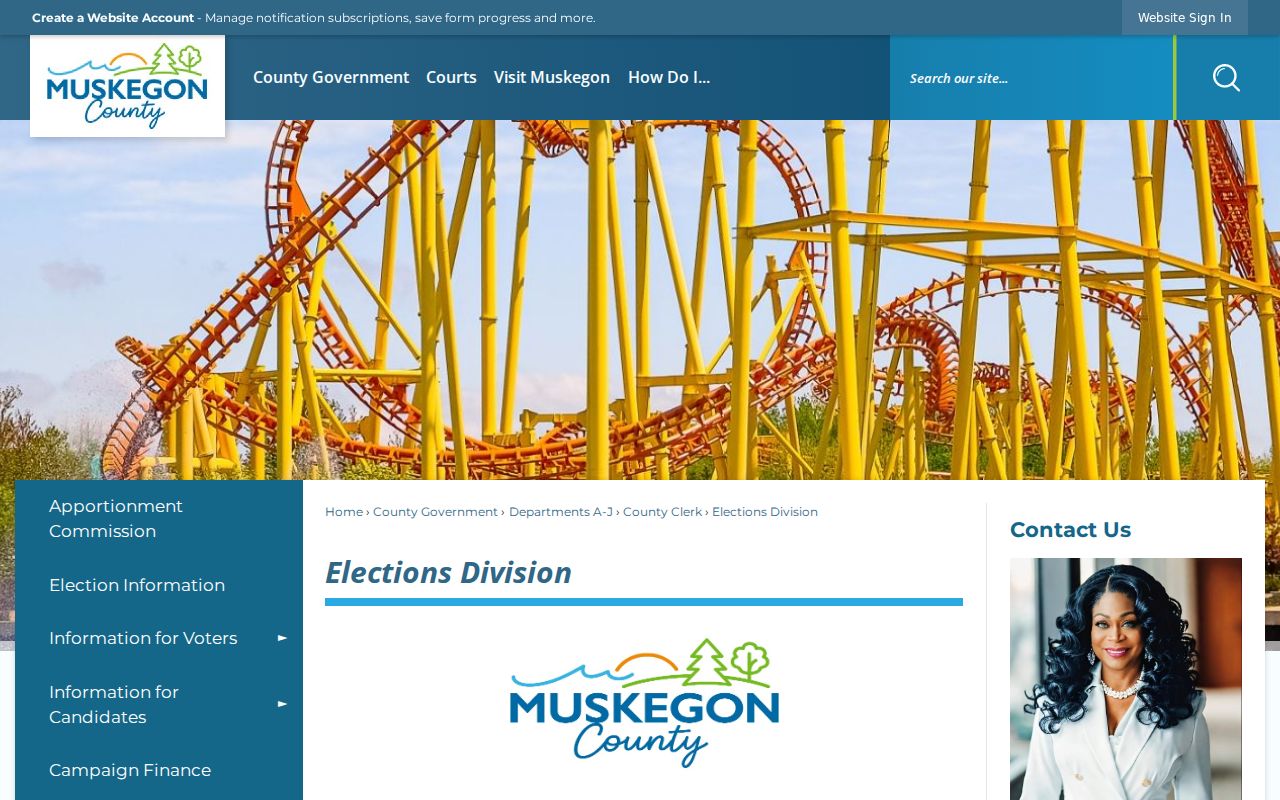
Use the geography named on the request form and retain only the information needed for a lawful, defined records purpose.
Muskegon ZIP Code Record Limits
A ZIP can be useful for a narrow registry or mailing query, but it does not make every local record searchable by ZIP. The Michigan State Police registry accepts city, county, ZIP, street address, and map-radius controls for its own statutory registry. It should be treated as that limited registry, not as a general people directory or a source for assumptions about an address.
The Michigan State Police registry page shows the ZIP and address controls available within that limited search system.
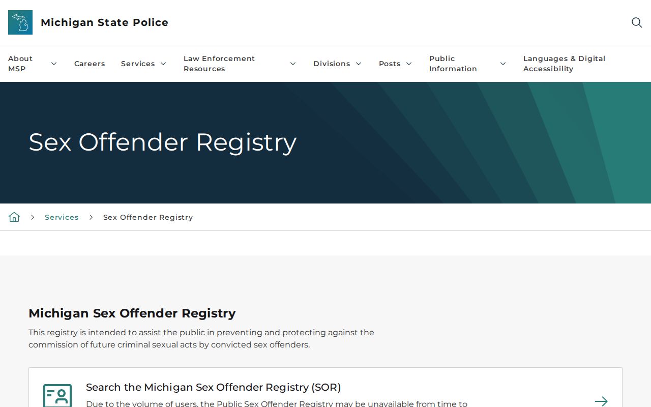
Use the official system only within its stated scope. A mailing ZIP, a registry result, a parcel card, and a historical directory line are different kinds of evidence.
Note: No local source located a dated ZIP split, realignment, or per-ZIP registration statistic, so none is stated here.
Muskegon ZIP Code Historical Addresses
Older Muskegon city directory addresses did not carry modern ZIP codes. MCGS identifies street-name changes in 1887-1889 and a city street-renumbering project in 1925. The exact conversion table was not captured. Preserve the historic street wording first, then label any USPS result as a current postal match rather than inserting it into the historical record.
Hackley and Torrent House hold historical directory material, and Sanborn maps can provide building or block context. Compare an older listing with a current GIS parcel only after the street-name and numbering question has been tested. That keeps a useful postal crosswalk from becoming a false historical address claim.
Muskegon ZIP Code Definitions
These terms keep the postal layer separate from the parcel and historic-record layers. Use USPS for the postal result, county GIS for parcel geometry, and the relevant custodian for a record keyed to a name, instrument, or election geography.
- ZIP Code and ZIP+4
- A ZIP is a USPS delivery-routing code; ZIP+4 adds a more specific delivery detail. Neither replaces the parcel’s legal description or municipality.
- PO Box-style ZIP
- A postal label that may be associated with box service. Confirm its exact USPS use before tying it to a physical location.
- Unique ZIP
- A ZIP used for a single organization or institution’s mail. The inspected Muskegon material did not identify one for this directory.
- Carrier route
- A USPS delivery grouping within a postal area. It is not a city-limit, parcel, or resident-record boundary.
- Postal city
- The city name USPS recommends for mail. It may differ from the municipality shown by GIS or a parcel record.
- Situs address
- The physical property address used in parcel, permit, or GIS records. It can differ from a tax mailing address.
For the Muskegon labels in the coverage table, the terminology does not change the verification rule. USPS establishes the postal output, and county GIS establishes the parcel’s mapped municipality. Keep both results when the wording differs.
Muskegon ZIP Code Evidence Log
A short evidence log makes a mismatch readable. Record the historic or current address exactly as searched, the USPS date and returned postal city, the ZIP, GIS municipality, parcel number when available, and the record source. Mark a result as direct when it names the address and date, indexed when only a search hit is visible, context when it describes an area, or unresolved when sources conflict.
This is especially helpful around city and county labels. The county profile includes other ZIPs such as Fruitport, Spring Lake, and Nunica for county context. A Muskegon-area label alone does not establish the City of Muskegon. A careful log preserves uncertainty instead of hiding it.
For a historical address, add the directory edition, the original street wording, and whether a street-name or numbering conversion was checked. Do not place a modern ZIP beside an old directory entry as though it appeared in the volume. Label it as a current postal match, retain the source date, and leave the record unresolved when the historic and current forms cannot yet be bridged. That discipline is particularly important after Muskegon’s documented 1887-1889 street-name changes and 1925 renumbering project.