
Muskegon Neighbors Block Sources
Public sources describe a Muskegon block in layers. A parcel map identifies nearby parcels and their physical context. Tax and assessment material can show an owner or mailing field where the result makes it public. Recorded documents establish a transfer trail. Directories and Sanborn maps provide dated context, while neighborhood pages point to civic activity. These records do not establish every person connected to a street or parcel, so keep the source, date, and type of fact beside each note.
| Source | What It Shows About a Block | Access |
|---|---|---|
| GIS parcel map | Adjacent parcels, dimensions, address numbers, plats, easements, and rights of way | Public viewer with Identify and Query operations; verify against recorded documents. |
| Tax or BS&A record | Parcel owner, mailing address, assessment, or tax fields where public | Address, name, or parcel route; the full result field set was not captured. |
| Recorder index | Transfers along adjoining legal descriptions, parties, dates, and instruments | Public index; image, copy, and certification routes differ. |
| City directory | Dated street or address listing for people or establishments | Hackley main building and Torrent House holdings. |
| Sanborn map | Building footprint, use, street pattern, and block change | Library of Congress or local-library route; not a title or resident record. |
| Neighborhood association | Current civic area, public meetings, and projects | City page or independent association site; no universal member directory located. |
| QVF request | Lawful current voter-file geography and requested fields | County form; protected fields are excluded. |
A parcel owner, a tax-mail address, and a person listed in a historical directory are separate claims. The first two can be current or administrative, while the directory is a dated snapshot. Apply the same caution to a shared parcel, a public right of way, a vacant lot, or a multi-unit building. Geographic proximity does not prove a household connection.
Map a Muskegon Neighboring Parcel
The adjacent-parcel method starts with the Muskegon County GIS Property Viewer. The public service supports map Identify and Query operations, but research did not find a dedicated neighbors button or a documented radius tool. Work parcel by parcel. Note the subject boundary first, then inspect the immediately surrounding parcels without turning a map view into a list of people.
- Find the subject address or street area and select the parcel. Record the parcel number, visible address number, and legal or plat context.
- Check roads, easements, and rights of way before deciding which nearby parcels are geographically adjacent.
- Use Identify or Query on each adjoining parcel and retain the parcel number, boundary, and source date.
- Open the county assessment or BS&A route by address, name, or parcel number for public owner and mailing fields.
- Compare a recorded transfer in the Register of Deeds index when a date or legal description needs confirmation.
- For a full named-street trail, use the Muskegon street-address directory rather than treating one block check as a street-wide answer.
For a selected-parcel example, open the Muskegon County GIS Property Viewer.
The visible parcels show geographic adjacency only. A map line cannot prove that people are related, share a home, or have any connection beyond the block.
Muskegon GIS Is Not a Roster
The county PropertyViewer adds useful map layers: parcels, address numbers, dimensions, platted areas, subdivisions or condominiums, easements, and public rights of way. Its service also has a 1,000-record limit for a wide query, so a long block or street should be divided by map extent or parcel identifiers. The map is strongest when it answers a geographic question, then another record answers the name or date question.
Pair a selected parcel with the BS&A property route and a recorder entry. If the tax result gives a different mailing address, preserve both fields without assuming the mailing address is a present residential location. A plat may explain lot and subdivision structure, while a deed establishes a recorded transaction. Neither one is a complete Muskegon neighbors directory.
Note: GIS data is informational and should be checked against recorded documents, because a boundary can lag a deed, lot split, new address, or municipal change.
Muskegon Neighborhood Civic Contacts
The City of Muskegon identifies 15 neighborhoods and explains that associations may be formal or informal. Their schedules can be monthly, quarterly, or annual. They are useful for a block’s civic identity, public meeting notices, cleanup projects, and respectful outreach. They are not private-name directories. The city’s community-engagement route and an association’s own public contact point are the appropriate ways to ask a current neighborhood question.
A through E
Angell, Beachwood/Bluffton, Campbell Field, and East Muskegon.
G through M
Glenside, Jackson Hill, Lakeside, Marquette, and Marsh Field.
M through S
McLaughlin, Nelson, Nims, Oakview, Sheldon Park, and Steele.
View the city’s Muskegon neighborhood list for the current framework and contacts.
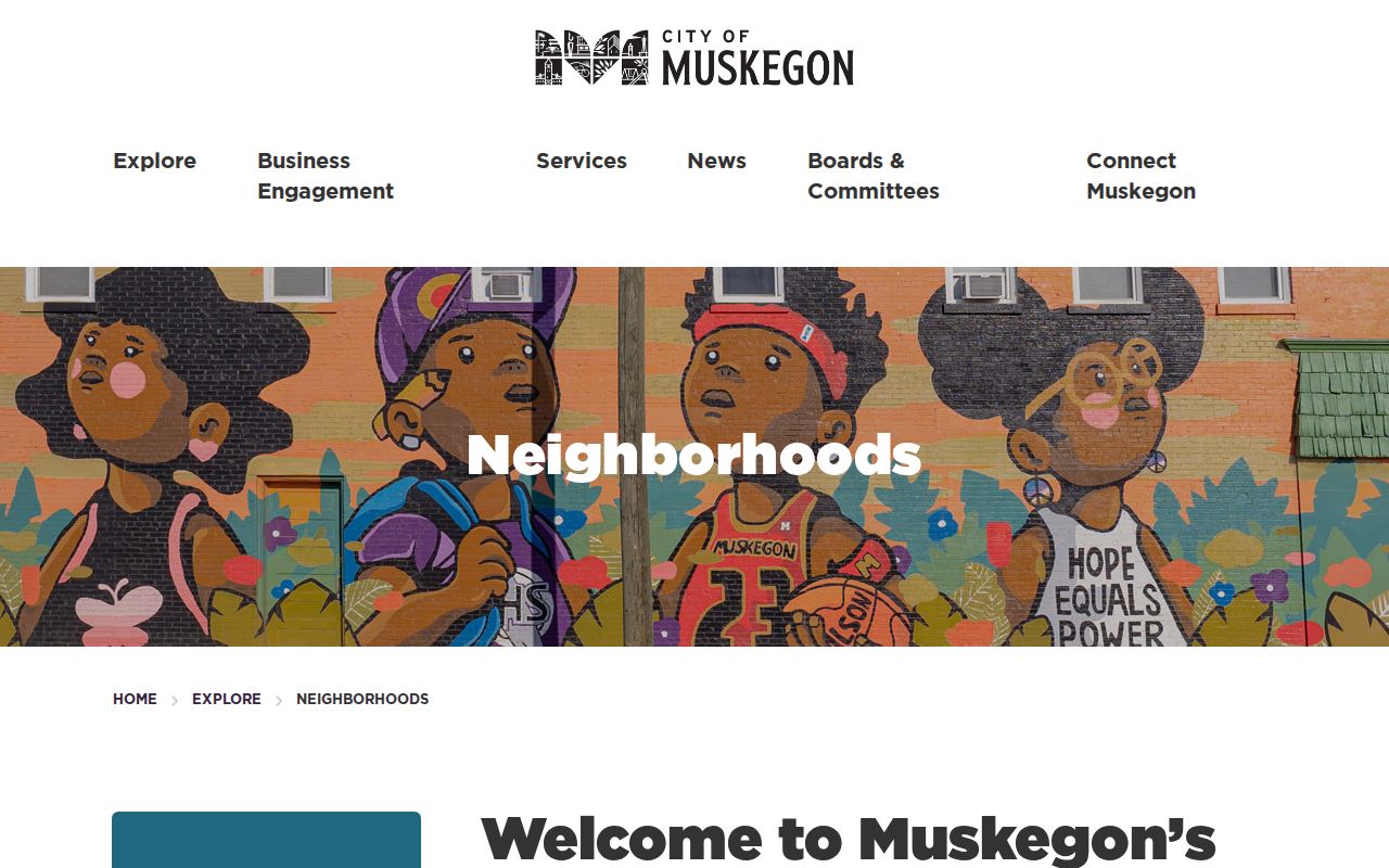
The city list gives a useful place name for research notes, but a neighborhood label does not establish a person’s address, membership, or relationship to nearby parcels.
The Marquette neighborhood page gives a concrete public-meeting example: second Thursday at 5:30, with the listed meeting location changing by season. Jackson Hill also maintains an independent civic site. Check the city and association pages before relying on meeting details.
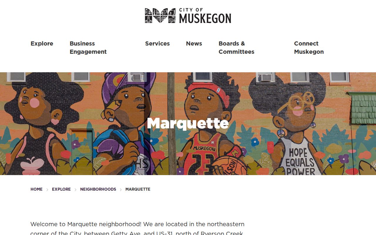
Public meeting information can support a respectful contact route, not an inference about a particular person or a roster of residents.
Muskegon Neighbor Voter Files
The public Michigan Voter Information Center is intended for individual registration and election information. The live controls were not stably captured, so no field list should be assumed. The County’s QVF request form is the documented route for a broader lawful voter-file request. It offers county, city or township, district, ward or precinct, election date, and election-type choices.
The form describes current registered voters or people who participated in a specified election, and it lists residential and mailing address where available, year of birth, precinct or district information, and absentee indicators. It states a $50 media or email delivery fee and a three-business-day processing statement unless notice is given. It does not reveal ballot choices. MCL 168.509gg excludes protected information such as driver-license or state-ID data, month and day of birth, phone number, signature, and Social Security number fragments.
A current voter-file result is not a historical block history. Pair any lawful address-geography research with a dated directory, newspaper, tax roll, or recorded document, and leave substitute or protected addresses alone.
Muskegon Official and Compiled Tools
Official parcel and recorder sources identify the custodian and the date or document behind a result. Compiled neighbor products may combine filings, address-history material, marketing data, and other datasets. Their freshness and identity matching vary. A compiled result can be a useful lead, but it cannot replace a public parcel record, recorded instrument, voter-file request, or dated directory when a block fact matters.
| Official record route | Compiled neighbor category |
|---|---|
| Names the custodian, record type, and available date or document number. | May blend sources with different dates and identity rules. |
| Supports inspection, copies, correction requests, and source-specific limits. | May not show how a claim was matched or when it was last checked. |
| Separates parcel, ownership, and directory facts when read carefully. | Can collapse similar names or nearby addresses into one result. |
Use the official source for a claim, and label anything else as a lead until it is independently corroborated. That also reduces the risk of treating a mailing address, a directory line, or an adjacent parcel as proof about all Muskegon neighbors on a block.
Historic Context for Muskegon Blocks
For older blocks, use a city directory as a dated listing and compare its alphabetical and address sections where available. Hackley’s collection identifies the first known Muskegon city directory in 1873 and later R.L. Polk volumes. The newest volumes are at the main Hackley building, while older material is at Torrent House. A directory line can add an address or other context, but it is not a census and should be recorded as a listing for that edition year.
Sanborn maps offer another block layer. Muskegon sheets include 1883, 1887, 1911 with later revision notation, and a 1923 volume revised in 1950. They can show whether a building footprint, street pattern, or use changed between directory years. Street-name changes in 1887 through 1889 and city renumbering in 1925 can make a simple modern-address match misleading, so preserve the original wording before trying to normalize it.
For historical articles and notices, MADL’s Chronicle microfilm spans 1869 to 2018, with NewsBank from 1997 onward. A newspaper or map can supply dated context for a block, but it should not be used to infer an unrecorded personal relationship.
Muskegon Public Meeting Routes
City neighborhood pages and documents can show public agendas, neighborhood terms, cleanup information, and civic projects. These materials help identify a respectful way to contact an association or attend a meeting. They do not establish which people belong to a group. If a current contact is needed, use a listed public channel or meeting rather than seeking private lists.
Review the city’s neighborhood documents for the public material currently posted.
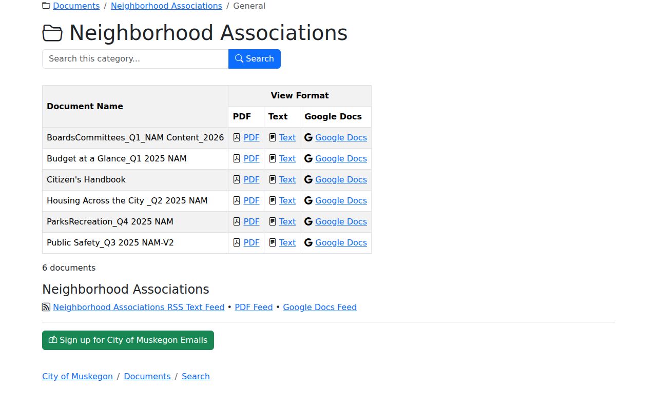
Neighborhood documents can preserve local terms and project dates, which are useful context for a source log when a street or block has changed over time.
The Neighborhood Empowerment Grant program identifies activities such as public meetings, newsletters, National Night Out, Dumpster Days, and Neighborhood Association Meeting participation for its 2026 levels. Those requirements can indicate an active group, but they do not create a public member list.

The grant material is a current civic-context source. Keep its program year attached to the note instead of applying a present schedule to an earlier block history.
Muskegon Neighbor Privacy Limits
Parcel, tax, deed, and map records do not establish every person at an address or the makeup of a household. Utility accounts, delivery data, protected voter addresses, and Address Confidentiality Program locations remain outside this kind of block research. Michigan’s Address Confidentiality Program, created by 2020 PA 301, supplies a substitute address and mail forwarding for eligible participants. A substitute or missing address is a protection to respect, not an inconsistency to solve.
Use the minimum public detail needed and correct an error through the office that created the record. Keep each claim as direct, indexed, context, or unresolved in a source log. That makes it clear when a fact comes from a parcel map versus a dated directory or a public meeting notice.
Lawful use. Use Muskegon neighbor records for personal, lawful research, community context, or family history. Stalking, harassment, intimidation, or efforts to locate a protected person can violate Michigan law, including MCL 750.411h and MCL 750.411i.