
Trace a Muskegon Street Directory
A street name alone is not a reliable record key. Muskegon addresses can sit in the city, a township, or a nearby municipality that shares a postal label. Start with the current situs address and identify the municipality shown by the parcel map. The parcel number and legal description are stronger bridges than a street spelling because each can follow the property through the tax, map, deed, and plat systems. This address-record workflow separates a recorded owner from a person merely listed at an address.
- Enter the address in Muskegon County BS&A or locate the street in the county GIS viewer. Save the displayed address number and parcel number before moving to another system.
- Use the GIS Identify tool on the parcel. Check the parcel boundary, subdivision or condominium context, rights of way, and easements so a road strip or odd-shaped lot is not mistaken for a separate address.
- Compare the assessment result with the parcel. Preserve the property address and mailing address as distinct values. A mailing address can be useful administrative contact information, but it does not establish where an owner lives.
- Search the recorded-document index with the owner as grantee, then follow the seller named on the purchase instrument. The legal description and document date help distinguish same-name parties.
- For a dated person-at-address question, consult a directory address section and then its alphabetical section, newspaper material, or a lawful voter-file request. The individual MVIC screen is not a public bulk street roster.
For a long Muskegon street, work in short map segments. The GIS service has a 1,000-record maximum, so a whole-street result should not be treated as a complete list. Log parcel identifiers as the work proceeds, then attach a source and date to every name. Note: A nearby parcel is a geographic lead, not proof of a shared household or relationship.
Muskegon Street Map First
The Muskegon County GIS Property Viewer is the practical first screen for a street-by-street check. It supplies parcel geometry and address context rather than a narrative occupancy history. Its available layers include parcels, address numbers, parcel dimensions, platted areas, subdivision or condominium information, easements, and public rights of way. That makes it useful for deciding which property record belongs with a visible street number before an assessor or recorder search begins.
The official GIS service-layer capture shows the mapped layers available for a Muskegon address query.
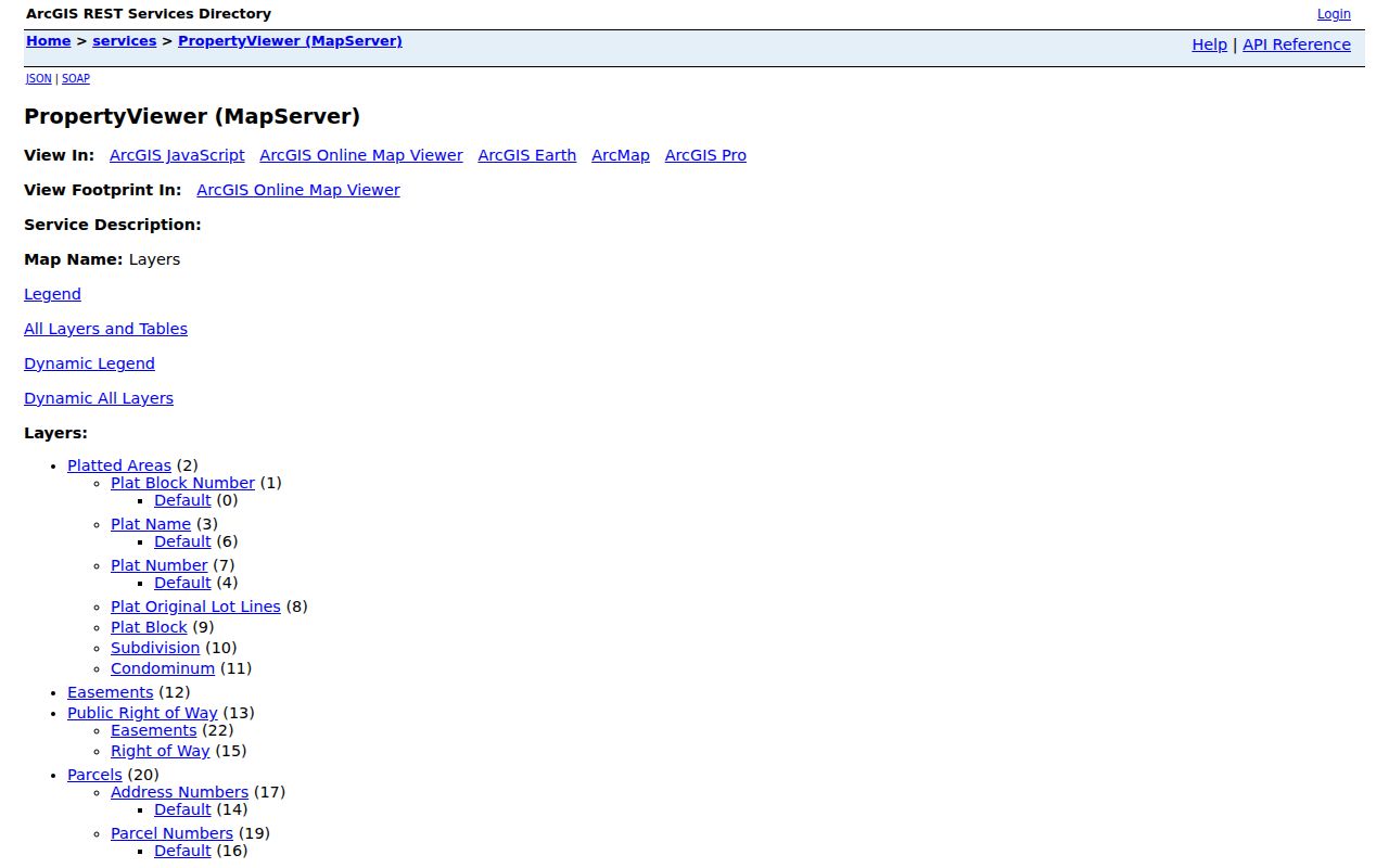
Use a selected parcel to record the map context, then verify the parcel number in BS&A or the deed index. Map layers describe land and recorded geography, not a roster of everyone at an address.
Muskegon BS&A Street Fields
The county’s public assessment route begins with three captured BS&A choices: Address, Name, and Parcel Number. The GIS viewer adds a map click through Identify and the parcel layers listed below. No complete BS&A result screen was captured, so this Muskegon address lookup does not promise value history, sketches, exemptions, or a ZIP-wide result. Use the fields that the public landing page actually exposes, then retain the source date.
| System | Captured search field or control | Observed use |
|---|---|---|
| BS&A | Address | Text/autocomplete choice for a property address. |
| BS&A | Name | Text/autocomplete choice; result details were not captured. |
| BS&A | Parcel Number | Text/autocomplete choice that bridges to the mapped parcel. |
| GIS | Map selection | Identify/click for parcel, address, and plat context. |
| GIS | Layers | Parcels, address numbers, dimensions, platted areas, subdivisions or condominiums, easements, and rights of way. |
The county property-tax route is a useful way into the assessment and tax context. It covers the county, so confirm that a returned parcel is in Muskegon City rather than relying on a postal city label.
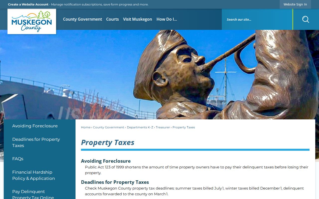
The tax route supports a parcel-first street lookup, but the timing of a tax bill does not identify when a person was present at the property.
The Muskegon County Equalization page explains the countywide assessment role. Individual assessment questions belong with the city or township assessor for the parcel’s actual municipality.
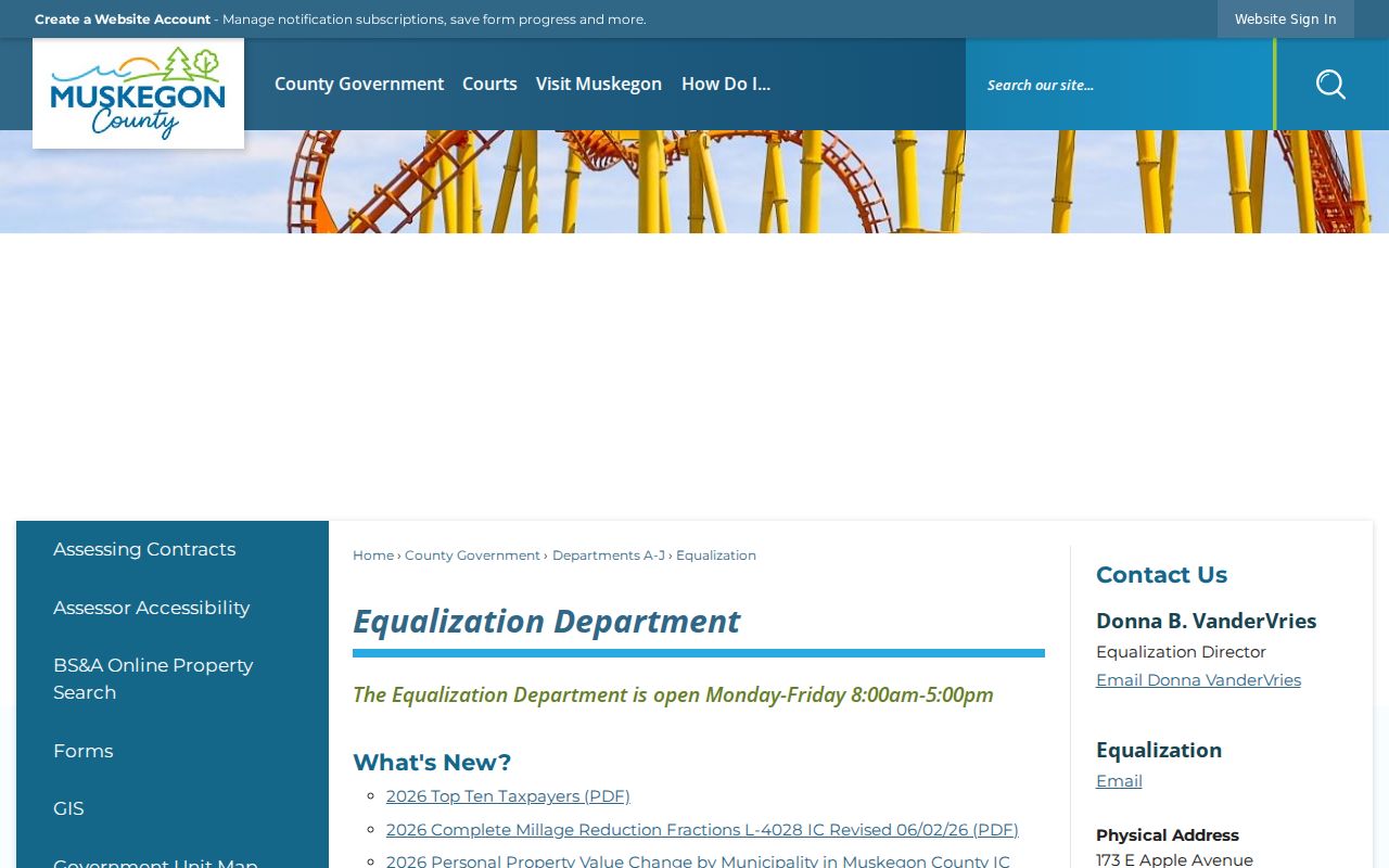
Equalization studies and factors are county work. They should not be read as a decision about one Muskegon address.
Muskegon Street Record Sources
Address-keyed sources fit together when their limits stay visible. BS&A and the tax roll can identify how the assessor recorded an owner, property address, and mailing address. GIS identifies the parcel and its land context. The Register of Deeds connects recorded parties to an instrument. City inspection material can date work or a code matter. A lawful QVF request can be tailored by geography, but it is not a historical address list. None of these Muskegon street record sources alone proves the full group of people at a location.
| Address record | Muskegon keeper | What the record can show | Access route |
|---|---|---|---|
| Assessment or tax | BS&A, local assessor, and county tax offices | Owner, situs, mailing address, and assessment or tax context where public. | Address, name, or parcel search; fields vary. |
| Parcel map | Muskegon County GIS | Parcel shape, number, plat, easement, and right-of-way context. | Public viewer and ArcGIS service. |
| Recorded instruments | Muskegon County Register of Deeds | Grantor, grantee, instrument date and number, and legal description. | Free public index; registered image and office-copy routes. |
| Current voter file | County Elections Division | Requested lawful geography and public QVF fields, subject to exclusions. | County form; stated $50 delivery fee and three-business-day processing statement. |
| Permit or code trail | City Building Inspection Services | Construction, inspection, or code chronology if releasable. | Public BS&A link or a narrow city request when portal fields are unavailable. |
A parcel number connects the first three rows. A name, date, and legal description connect the recorder row. Keep a separate column for the original street spelling because historic forms can differ from the current address.
Muskegon Street Deed Links
The Muskegon County recorder index is a recorded-instrument search, not a street roster. It covers a portion of the database from 1859 to present and is updated daily. Search modes include Both Names, Grantor, Grantee, Exact Match or Advanced matching, document type, document number, date range, wildcard operators, and Find Related. Its handwritten and microfilmed images remain in conversion. Public data searching is free; registered users can purchase image or printing access at the stated $1-per-page rate plus a convenience fee.
Start with a current owner as grantee. The purchase document identifies the grantor, who becomes the next name to search as grantee for an earlier purchase. A mortgage, release, assignment, or correction may concern an interest in the parcel without being a change in the person listed at the address. Use the legal description and Find Related feature when a name is common. The Register of Deeds also offers office searching, copies, and certifications, but does not provide legal advice or blank deed forms.
The recorder acknowledgement and index page shows the public-search and image-access distinction for a Muskegon address trail.
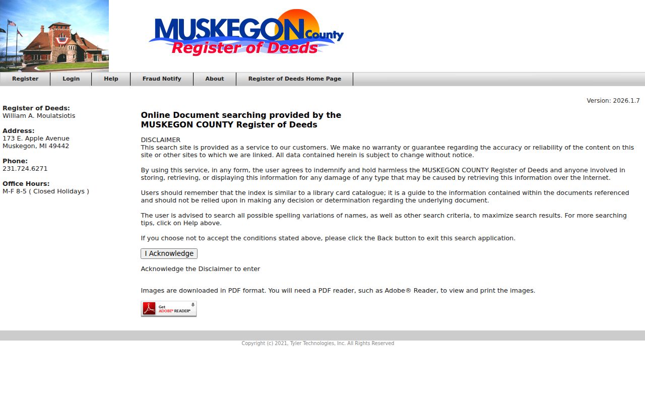
The index can establish a recorded transfer path. Pair each transfer date with an independently dated listing or newspaper item before describing a person as connected to the street.
Muskegon Street Names Changed
Two local conversion problems can make an old Muskegon street search look empty: street-name changes in 1887 through 1889 and the city renumbering project in 1925. The MCGS resources identify both transitions, but the complete conversion table was not captured. Preserve the source’s original address before trying a modern form. Then compare the old wording with a directory, a Sanborn sheet, a plat, and the current parcel map. Label a match as tentative until the conversion resource supports it.
Municipality labels also need care. County numbering distinguishes Muskegon City from Muskegon Township, North Muskegon, Muskegon Heights, Norton Shores, Roosevelt Park, and nearby places. A Muskegon postal name does not settle that question. Note: A street name that changed form should be searched in its original form before abbreviations or directional prefixes are normalized.
Muskegon Street Permit Trails
Muskegon Building Inspection Services handles building, electrical, mechanical, plumbing, property-maintenance, and code-enforcement work. The city publishes applications, fee schedules, registration material, appeals information, and inspection contacts. A public BS&A Building Department Record Search link exists, but the accessible material did not reveal its precise fields, coverage years, result pages, or document behavior. A narrow request that gives the street address, parcel number, permit type, and date range is the documented fallback.
The city inspection-services capture is a source lead for an address-specific chronology.

A permit or inspection date can help explain a structural change. It does not establish who occupied the address on that date.
The city’s business-registration form is another address-keyed administrative record route. It can help distinguish a listed commercial address from a personal address, but it should not be used as proof that an individual is present there.
Keep any business-address result separate from parcel ownership and historical directory evidence. Each source answers a different question.
Muskegon Historical Address Listings
For an earlier address, the reverse or criss-cross directory is the address-to-name tool. Search the address section first, then check the alphabetical section for the same edition and search the next one or two years. Muskegon’s first known city directory is the 1873 A. Bailey edition; later volumes are mostly R.L. Polk. Hackley keeps newer volumes at the main building and older material at Torrent House. The historical collections themselves are described on the Muskegon city directory collections page.
Directories may give an address, occupation, length of time at an address, or occasional property value, depending on the edition. They can also list a person who received mail or was included by the publisher. Use “listed at” when the entry does not make the connection clear. Compare the line with the Muskegon Chronicle microfilm, which spans 1869 to 2018, or NewsBank coverage from 1997 onward. A clipping should keep its page and date.
- Parcel
- A mapped unit of land identified by a county number. It links GIS, assessment, tax, deed, and plat research.
- Situs address
- The property’s physical street address, distinct from an owner’s tax mailing address.
- Plat
- A recorded map that can identify lots, blocks, subdivision boundaries, and related parcel context.
- Criss-cross directory
- An address-arranged directory section used to move from a historical street number to a dated listing.
Muskegon Street and ZIP Checks
A current ZIP is a postal value, while the situs address belongs to the parcel, permit, and GIS systems. The Muskegon area includes ZIP labels that can overlap North Muskegon, Muskegon Heights, Norton Shores, Roosevelt Park, Muskegon Township, and nearby places. Use USPS to verify current delivery information, then compare the returned postal city with the county GIS municipality. Do not add a modern ZIP to a nineteenth-century directory line as if it appeared in the source.
The City Planning and Zoning route handles land use, subdivisions, lot changes, and new-address questions. For one identified person rather than a street-wide record trail, use the more focused Muskegon resident search workflow and preserve the dates of every result.
Muskegon Street Record Limits
An address-record search cannot reveal every person associated with a location. GIS, tax, and deed records do not establish all occupants or household composition. Utility customer information, delivery records, and restricted DMV address data are not public street lists. Michigan voter data also has protected fields, and the Michigan Address Confidentiality Program can supply a substitute address for eligible participants. A public-file difference is not a reason to seek a protected actual address.
Use each Muskegon address result as a dated record claim: owner recorded by the assessor, party recorded on an instrument, or person listed in a historical publication. Check it against another source before drawing a personal conclusion. Where no record is available online, use the custodian’s office, a narrow records request, Hackley or MADL research material, or the Archives of Michigan guide instead of guessing.
Lawful use. Use Muskegon address records for lawful personal, family-history, civic, or property research. Do not use them to stalk, harass, intimidate, or harm any person.